Fit-for-purpose mapping, using very-high-resolution imagery from Earth Observation satellites, is fast-becoming an effective and cost-efficient tool for monitoring the national power grid infrastructure and has a key role to play in the economic development and security of countries.
Fit-for-purpose mapping by satellite and its role in national critical infrastructure management
On a wider basis satellite-based mapping should be integral to a fit-for-purpose land administration strategy, an approach advocated by the World Bank.
Used in combination with other mapping practices, very-high-resolution satellite imagery can transform land registration and cadastral methods, and help create sustainable, affordable land mapping and administration systems that facilitate security for all citizens and effective management of land use and national resources.
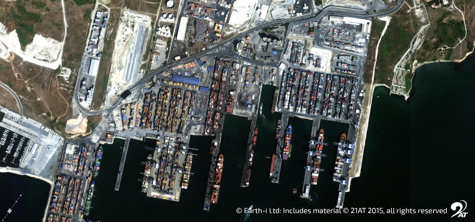
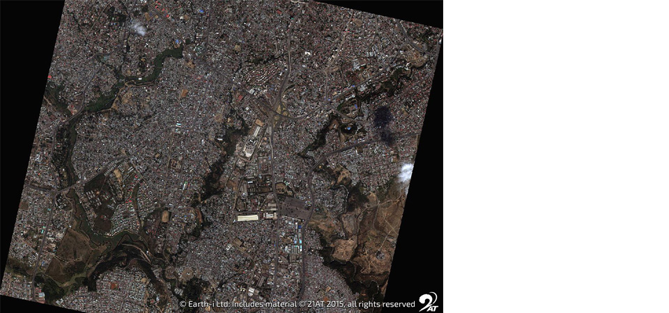
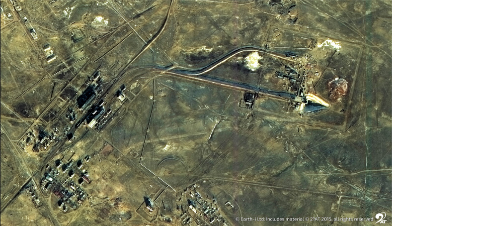
The use of very-high-resolution imagery offers clear advantages compared with traditional methods. The latest generation of Earth observation satellites can be used as and when required and provides a highly detailed view. The frequent use of land-based surveying, the chartering of planes and the flying of drones are very costly and time-consuming, and often face significant operational limitations.
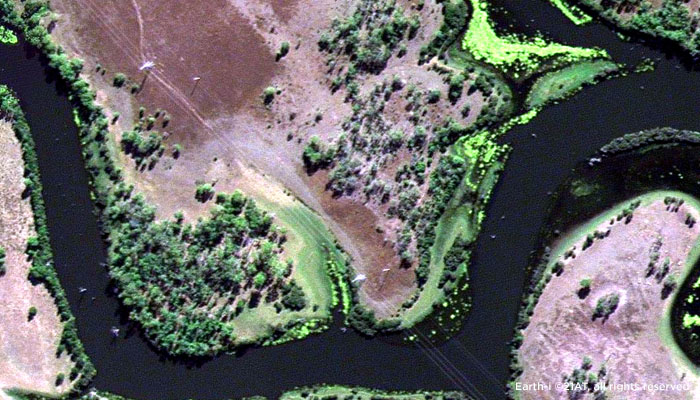
Very-high-resolution satellite imagery is particularly advantageous when it is used to carry out mapping regularly, to create a basemap, and is used within a national spatial data framework. Once created this rich national data resource can become an essential tool for effectively and cost-efficiently monitoring and managing national critical infrastructure, such as the power grid.
How very-high-resolution satellite imagery can support power grid infrastructure management
One of the principal benefits is the ability to better monitor power grid infrastructure on a regular basis and analyse the impact of changes in local environments, marine conditions and weather events on this critical national framework.
The benefits of being able to closely monitor national power grid infrastructure and quickly identify vegetation encroachment or the risk of damage are extensive. Authorities can efficiently and cost-effectively monitor waterways that are located close to pylons and evaluate risks relating to any changes in the condition of these bodies of water. Agricultural land use and vegetation growth around pylons and along power line routes can be monitored in the same way.
In urban areas, this type of satellite imagery can be used to monitor changes in land use and building and development work around pylons, along power line routes and underground networks. In terms of planning, it can be used to assess risks related to areas with historically high wind conditions and inform decisions about power line routes and lengths.
How very-high-resolution satellite imagery can improve responses to weather-related events
The use of very-high-resolution satellite imagery can also improve the management of the impact of weather-related events on national power grid infrastructure. For example, image data can be integrated with real-time weather data and 3D modelling software to provide risk alerts and damage reports in the event of storms and floods in areas that contain pylons and power lines. It can also be used to monitor the condition of transmission infrastructure located in areas hit by lightning.
These benefits allow authorities to make more efficient use of finite maintenance and repair resources and achieve greater cost-efficiencies, reduce their carbon footprint, strengthen environmental and energy policies, and build a positive relationship with consumers and tax-payers.
The next step is using very-high-resolution imagery for mapping
The availability of national geospatial mapping data, based on very-high-resolution satellite imagery, offers a leap forward in terms of national power grid infrastructure monitoring, and critical infrastructure management in general. Effective geospatial frameworks and geospatial data stacks, updated on a regular basis, have a key role to play in the economic security and development of all nations. Read our e-Guide, ”Why geospatial mapping is important for the well-being of nations”, for more details on very-high-resolution satellite imagery and its role in effective national critical infrastructure management.
To talk to Earth-i about very-high-resolution satellite imagery and national critical infrastructure management at the United Nations World Geospatial Information Congress, contact us on enquiries@earthi.space.co.uk