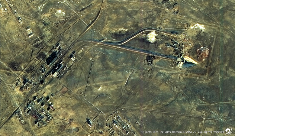
Zaatari Refugee Camp Satellite Image – All rights reserved ©21AT ©Earth-i
In recent years, the global refugee crisis has reached unprecedented proportions. There are estimated to be upwards of 65.3 million people forcibly displaced worldwide by conflicts that have flared from Latin America and the Middle East to Western Asia and the Pacific Rim. A third of those are living in countries other than their own, and ten million were born as refugees and remain stateless.
Since the outbreak of civil war in March 2011, the Syrian conflict has contributed an estimated 11 million to that figure. According to data from the United Nations High Commissioner for Refugees, 4.8 million have fled to surrounding Turkey, Lebanon, Jordan, Egypt and Iraq, and 6.6 million remain internally displaced within Syria.
Satellite images of the burgeoning refugee camps provide a remarkable insight into the crisis. The Zaatari Refugee Camp, located in northern Jordan near the border with Syria, had within a year of opening in 2012 grown in population to become the country’s fourth largest city.
“These kinds of images give us a way to visualize the invisible,” said Christoph Koettl, a senior analyst at Amnesty International who uses satellite imagery to monitor refugee crises. But satellite images offer more than passive opportunities to observe the crisis, they might well provide a solution too. That starts with understanding the true scale of the the crisis.
Monitoring the growth of refugee camps
Most of the world is aware of the huge scale of the refugee crisis, but there’s little reliable data on the unauthorised movement of peoples from war-ravaged countries, which hampers efforts to provide aid and assistance.
Data collected on the ground is often considered the most accurate, but in many places it is impractical and dangerous to gather, with insufficient resources to interpret data in situ. Remote sensing data provided by earth observation satellites, however, allow governments and aid agencies to explore large and remote geographical areas for extended periods of time at what is a relatively low cost.
Reliable identification of refugee tents and the ability to measure their size means that the number of refugees within any one camp can be accurately inferred. Further, the map of the camp that is created can be used for improving refugee camp management.
If planners need to find a location for a new camp, then being able to understand and evaluate the terrain, drainage and access transport routes of and to candidate sites without having to visit each one, will save a huge amount of time and money.
Images from the Rukban border crossing between Syria and Jordan show not only a dramatic growth in the size of the settlement at the border (while there were just 363 shelters at the site in September 2015, twelve months later there were 8,295), but also what appears to be evidence of death and disease in the camps. Satellite images are providing an indication of where aid and assistance is most greatly needed—shelters which, because of their remoteness, are often difficult to access on the ground.
Predicting where new crises might occur
A combination of satellite radar and imaging technologies are helping authorities in Europe monitor immigration attempts on the edge of the Mediterranean Sea and at Europe’s land borders. Satellite intelligence is providing detailed images of hot spots where border crossings peak to determine where new crises might occur.
Satellite imagery obtained by Amnesty International have shown Hungary’s rush to prevent refugees from entering Europe. A pair of images taken two days apart in September 2015 show how a stretch of motorway on the Hungary-Serbia border was bisected by a barbed wire fence resulting in a bottleneck of migrants and masses of people camping out in the open on the Serbian side.
A sudden mass movement of people into Croatia was a direct result of the action by the Hungarian authorities’ border closure. Croatian authorities then announced the closure of seven out of eight border crossings with Serbia as a result.
Satellites are helping authorities coordinate humanitarian relief
Satellite mapping is also enabling humanitarian workers to prepare and plan the best strategy for the deployment of aid. Not only can satellite communications technology save lives of refugees in transit, but imaging and data gathering softwares are supporting refugee communities longer-term.
Researchers at Penn State studied a measles outbreak in Niamey, Niger that caused nearly 400 deaths from over ten thousand cases in 2003 and 2004. Population estimates that had been available at the time of the vaccination campaign failed to take into account seasonal migrations, missing information that led to an overestimate of the proportion of children vaccinated.
Now, satellite images that capture short-term changes in population size in the developing world are helping vaccination campaigns achieve more complete coverage to help prevent and control disease outbreaks, taking advantage of peaks in population density to more efficiently distribute healthcare. Satellite imagery was also used during the West African Ebola outbreak in 2015, identifying the most efficient routes for aid workers to take to provide relief and support for the most gravely impacted areas of the continent.
In terms of environmental and disaster response, satellite imaging is also offering an improvement to emergency and humanitarian relief. Following the earthquake and tsunami that hit the coast of southeast Asia on 26th December 2004, rescuers on the ground made use of satellite imagery to support the logistics, staff security, distribution and setting up of telecommunications networks and refugee camps to ease the impact of the disaster and coordinate a more effective recovery.
During Hurricane Matthew, which hit the Caribbean and threatened the Florida coastline in 2016, an emergency response from MapAction volunteers who provided data and maps were invaluable supporting aid agencies helping communities all across the region start to rebuild their homes and lives.
Use of satellite image data can therefore apply to both the military and humanitarian sides of refugee crisis. It also makes the crisis real. The images can “bring otherwise remote issues to life”, and give a sense of the need for a quick response from the international community as conflict arises so as to avoid a humanitarian catastrophe.
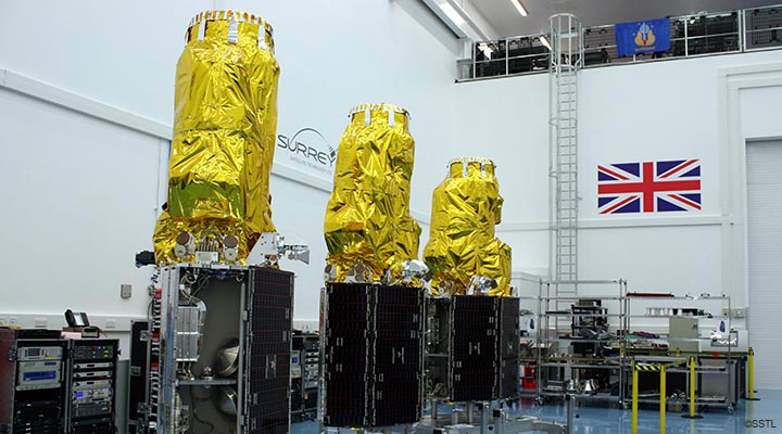
For more information on how Earth-i’s very high resolution optical satellites can assist with monitoring refugee camps, change detection at borders and other humanitarian applications, contact us at info@earthi.space.co.uk.