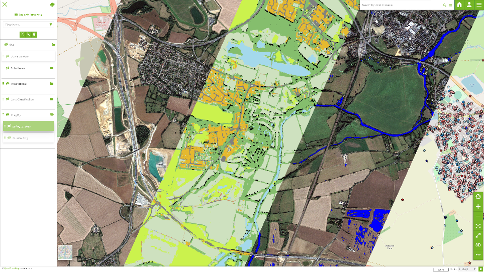
Geospatial data is complex to design, to source and to interpret. Data can become expensive if sourced at high resolution and frequent update, but expert design and automation can extract meaning from lower resolutions and less frequent updates, making insight far more cost-effective.
We provide advanced analytics to help you get the best from Earth Observation. We use automated interpretation of a range of data sources, including multi-resolution colour imagery, colour video, infrared and radar from a range of sources including satellite, drone, aerial and ground based sensors.
This data can be fused with additional sources to extract factual understanding and generate predictive insights across a range of markets such as supply chain, agriculture, large scale construction and defence.
There are many techniques involved in analysing earth observation data, some of which we outline below.
Change Detection
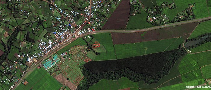
The monitoring and reporting of changes in an area of interest is best achieved by frequent revisits by EO satellites. Changes in the characteristics or shapes of features, object counts and mix of types, or non-normal levels of activity can be delivered by up to daily revisits, and in the future, multiple times of day.
Object Identification and Classification
Identifying objects, such as aircraft, vehicles or other equipment, in VHR imagery of areas of interest, to establish the number of objects present, the type of objects or other key characteristics. The process can be automated using machine learning, and changes in the patterns of objects present can be monitored and reported.
Volumetric Analysis
Using very high resolution satellite imagery to calculate volumes of land features, open cast mine depth, heaps of extracted or stockpiled materials, or other three-dimensional objects, delivers unique insights from space about critical points in global supply chains, particularly for decision-makers in commodity markets.
Moving Object Analysis
Using very high resolution video data from our next-generation Earth Observation satellites, moving objects can be identified, differentiated by type, and the vector and speed of travel established. Colour video enhances the accuracy of data analytics through better differentiation between objects and facilitating moving object tracking.
Digital Elevation Models
Using stereo pairs or multiple frame rate imagery detailed 3D digital models can be created to map the elevations and features of built up areas or land contours. The application of AI and machine learning can automate the process providing rapid and detailed digital elevation models (DEM) of areas of interest for further analysis.
Patterns of Life
A combination of monitoring capabilities, fusing satellite data with other data sets, can establish what is the normal pattern of life in an area of interest, including features, objects and activity, and monitor that over time through frequent revisits by Earth Observation satellites to the same area.